WHAT WE DO
Transforming Ideas into Intelligent Solutions Empowering the Future of AI Innovation with Velkyre Analytics
Problem
Pinpointing areas in need of immediate assistance in real-time humanitarian and urban development scenarios poses challenges due to the dynamic nature of crises and limitations in deploying physical teams swiftly. There are also limitations of off-the-shelf AI models. Organizations often rely on generic models, which may not capture nuances effectively.
Solution
A satellite captures an image of a bustling city. To the untrained eye it's a beautiful mosaic of lights and structures, but Velkyre Analytics models see beyond. They can detect changes distinguishing between permanent and temporary infrastructures. It's like having a keen eyed city planner in the sky. Imagine being able to detect changes in real time or illegal deforestation and infractures at the earliest stages.
Our Models
Change Detection
Detect alterations in infrastructure that have occurred over a specified time frame.
Walkway Detection
Predicting pathways in urban settings.
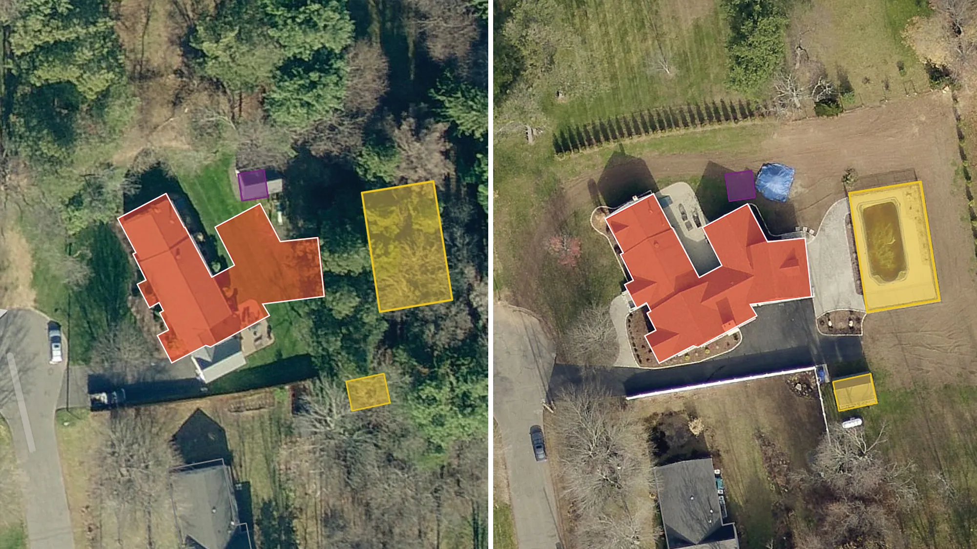
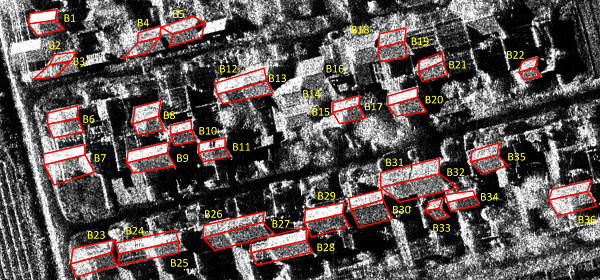
Temporary Vs Permanent Roof
Detect, pinpoint, and categorize objects of varying sizes within an image by defined bounding boxes.

About Us
With Advanced Technology Anything Visible Can Be Detected And Analyzed
Velkrye Analytics is where innovation meets intelligence. We are at the forefront of revolutionizing the digital landscape, specializing in the creation and deployment of Artificial Intelligence (AI) models tailored to meet the unique needs of your business. As technology becomes an integral part of every industry, our team of experts are dedicated to crafting cutting-edge AI solutions that empower your organization, enhance efficiency, and unlock unprecedented possibilities. Join us on a journey where your ideas transform into intelligent solutions, driving the future of AI innovation. Explore the limitless potential of customized AI models with Velkrye Analytics.
In addition to our in-house models, we offer the flexibility to customize solutions according to your unique challenges and goals. Our team is dedicated to pushing the boundaries of AI technology to deliver results that drive efficiency and innovation across your organization. With a focus on engineering state-of-the-art solutions, we strive to not only meet but exceed your expectations, ensuring that you stay ahead in today's rapidly evolving landscape of AI-driven advancements.
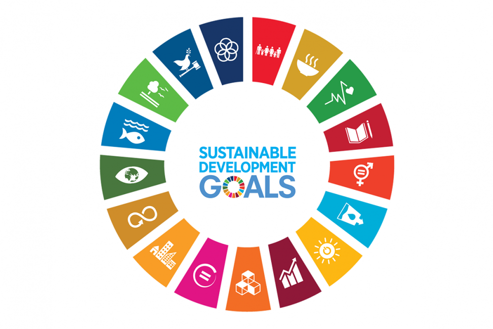
Our Goals
SDG Goal 10 Reduced Inequalities : This solution will provide fair opportunities for people affected by conflicts, natural disasters, and economic conditions by providing them equal opportunities to access a temporary safe living environment and access to basic living conditions.
SDG Goal 11 Sustainable Cities and Communities: Utilizing satellite imagery to analyze the distribution of various roof types empowers urban planners to make informed decisions on infrastructure, land use, and zoning regulations, thereby fostering efficient and sustainable urban development practices.